
Barstow, CA to Santa Monica, CA


We left Barstow at 10am and the mercury was already at 102F. The traffic through the Mojave was very heavy in both directions. This was probably because it was the Columbus Day holiday weekend.

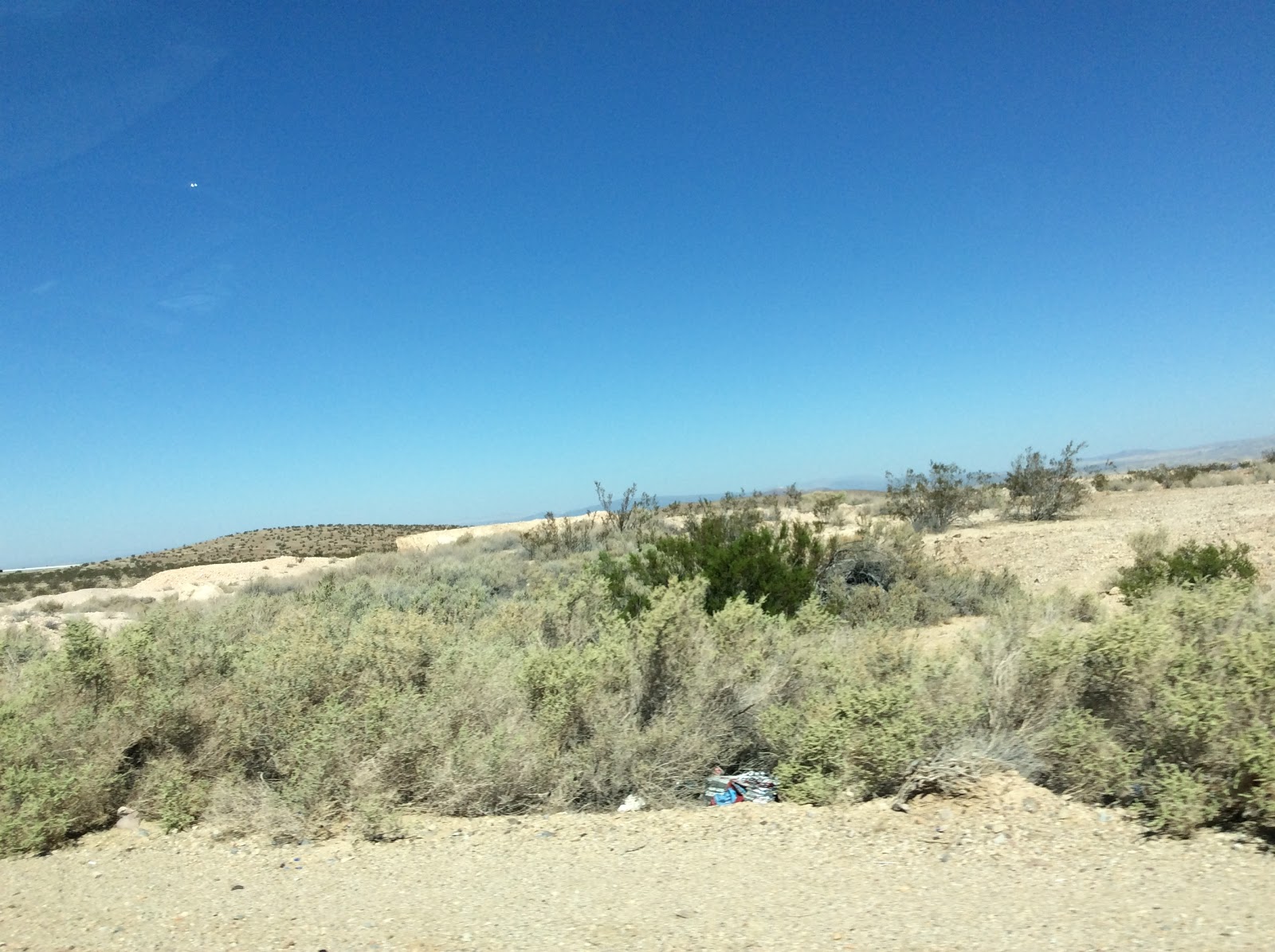
The first part of the journey was through the desert.


There were houses and the odd diner/bar every so often but we could not imagine living in such tough surroundings.


The starkness of the landscape often with mountains as a backdrop was beautiful at times but there were many eyesores along the way also.


One of the last towns we drove through was Victorville where as was often the case, travellers were reminded that their town was proud of being part of Rte 66.


As Route 66 finishes in Santa Monica, the final section of our trip was through the sprawling city of Los Angeles. The city was framed by the majestic San Gabriel Mountains but unfortunately we don't have any photos as opportunities to pull over were almost non existent and anyway we were fully engaged in driving and map reading. Driving along Sunset Boulevard, passing Beverley Hills, seeing the famous Hollywood sign high up in the hills was somewhat surreal but the streetscape wasn't always as glamorous as many movies portrayed.

We drove down  the miles-long Santa Monica Boulevard to the Pacific Ocean and the end of a wonderful Road trip.


From start to finish Route 66 is 2,278 miles long but because of the extra places we visited, we drove 3,130 miles on our adventure.  

Comments

  1. WELL DONE THERESE & SYLVIA -----and I like the last photo----a good one to have !

    Thanks for the great Blog ---it was great reading it . Enjoy San Francisco , looking forward to seeing you soon & hearing more about your great adventure .

    Bernadette xx

    ReplyDelete
  2. Sylvia and Therese you're a great advertisement for Route 66 !!

    Followed you plotting your way across the U.S. and delighted to see you reach Santa Monica so smoothly. Enjoy San Francisco. The blog was a great idea...... loved the photos and hoping to stay in a wigwam sometime too !

    See you in Dublin

    Deirdre and all the clan x

    ReplyDelete

Post a Comment

Popular posts from this blog

Holbrook, AZ to Peach Springs, AZ

We left Holbrook in bright sunshine and continued our drive along Rte 66 which once again had us driving on the Interstate at times. Our first stop was in Winslow made famous when The Eagles recorded "Take It Easy" whose second verse starts with "Standin' on a corner in Winslow Arizona". We then drove on to Flagstaff but didn't stop in the city. Flagstaff has a beautiful forested location high up on the Colorado Plateau and it was a change to be driving on roads lined with tall ponderosa pine trees. We had a picnic lunch off the beaten track in Buckskinner Park, Williams, AZ. We followed a dirt trail to the picnic area which really tested our car's tyres.  They survived, thankfully. We soon found ourselves in Seligman (pronounced Sligman), a sleepy town which maintains a lot of its historic character together with a few unexpected twists - eg Santa in a Chevvy outside the wacky Snow Cap Drive-in. Our destination for the night was th...

Amarillo, Texas to Tucumcari, New Mexico

We packed up after breakfast and continued our drive through Texas. Our first stop was at a ranch. Usually one expects to see horses at a ranch but this one was home to a row of half-buried Cadillacs! It was the idea of a controversial millionaire, Stanley Marsh from Amarillo. He said he created it as tribute to the golden age of car travel!! Visitors are encouraged to leave their mark by spray painting their names, comments etc. on the cars. We soon reached Vega, another small town with lots of Rte 66 treasures including a restored 1920s Magnolia gas station and the Milburn-Price Museum in what was previously the town bus station. Miss Karen, the owner told us lots of interesting stories about the museum pieces which were all donated by local families. Outside the museum there was a beautifully restored 1923 Model T Ford. We reached Adrian, TX which marks the mid point of the Route - 1139 miles east to Chicago and 1139 miles to Santa Monica, Los Angel...

Peach Springs,AZ to Las Vegas, NV

It was dull and overcast when we got up this morning and the weather got worse as time went on. It rained quite heavily as we drove north towards the Hoover Dam. We later discovered that there was a number of weather alerts for flash floods issued for the area we were driving through that morning. The Hoover Dam is located between Arizona and Nevada on the Colorado River. Lake Mead, which formed behind the dam is the largest man-made reservoir in the Western Hemisphere. We accessed the Dam by driving over the O'Callaghan-Tillman Bridge ( see photo below) whose total length is 1905 feet, making it the longest single-arch bridge in North America. At 880 feet over the Colorado River it is the 2nd highest bridge in the USA and the highest concrete-arch bridge anywhere. During the Depression in the 1930s, thousands of men and their families came to Black Canyon to build the Hoover Dam and tame the Colorado River. It took them less than 5 years in this harsh and barre...